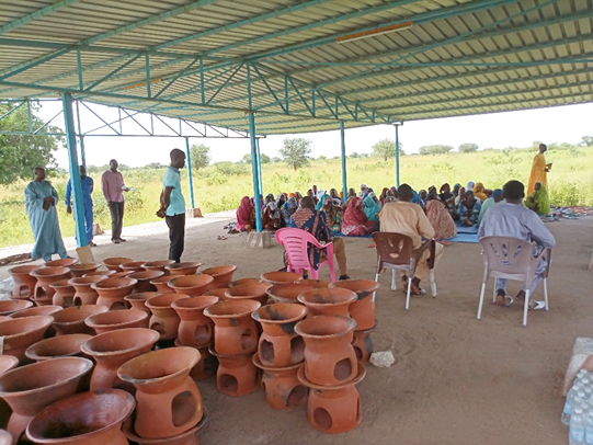
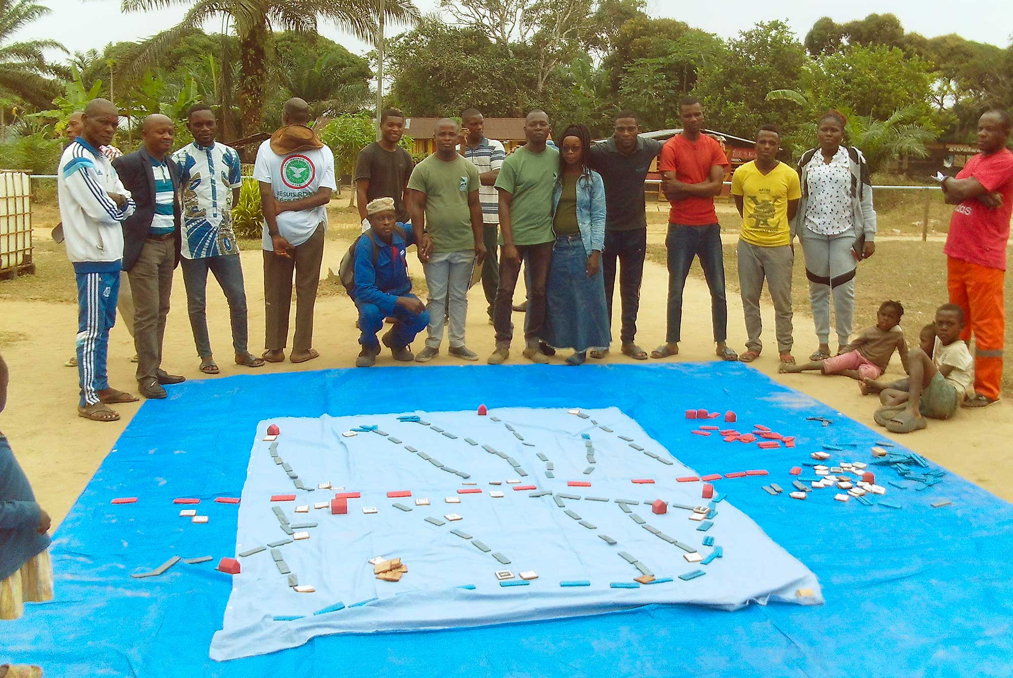
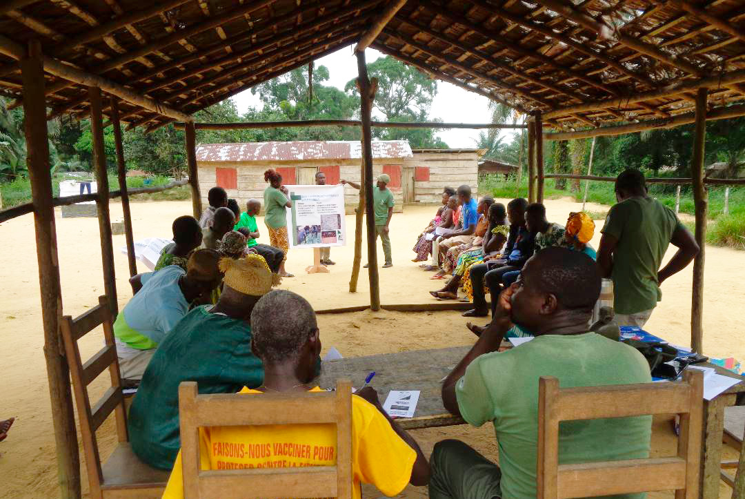
In a large outdoor space, between the mud houses built in the heart of one of the villages in the Conkouati-Douli National Park in Congo, a few dozen men, women and children form a circle. In the centre, they have laid out two large pieces of blue fabric on the ground, on which they move small rectangular pieces of wood around, forming sets representing various places (forest, field, etc.). They take turns bending over and pointing to “the river”, “the untouched forest” and so on. This is a participatory village mapping workshop.
Since June, Noé has launched a vast participatory mapping campaign in each of the park’s 31 villages, a process that will end in June 2024. The maps are produced on an ad hoc basis by the team’s cartographer in the field. To date, the first seven maps are already in the final stages of production.
What is participatory mapping?
Participatory mapping is the representation of data on a small-scale medium that represents a real space (village land), with the aim of simplifying its perception for a better understanding of areas of use, and issues specific to the village.
Below: participatory mapping offers simple, easy-to-use tools for defining use areas.
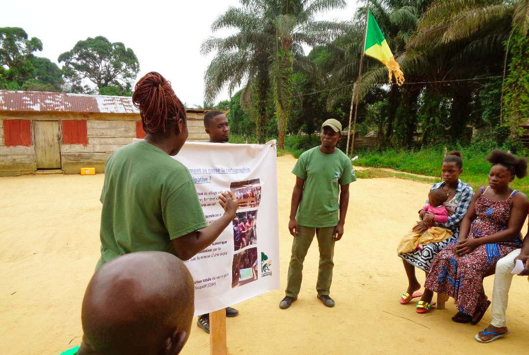
The communities get together and identify the various places they visit regularly: rivers, fishing and hunting grounds, non-timber forest product collection areas, fields, village outlines, sacred places, etc. Once the information has been validated by all the inhabitants, the park team goes out into the field, equipped with satellite positioning systems (GPS) to geo-reference important points. Provisional maps are then updated and submitted to the local population for validation before the definitive versions are drawn up.
The aim of this methodology
The creation of maps has traditionally been the role of experts, engineers or other specialists, imposing a vision of the territory and a vocabulary, conceptual and graphic, following a vertical relationship from top to bottom.
Participatory mapping, which emerged at the end of the 1980s, works in the opposite direction, from the bottom up. It proposes to renew the content of maps by showing sensitivity towards the nuances of local situations, and by reversing the usual relationship of knowledge and power over the territory.
Easy to implement, inexpensive and stimulating to debate, this methodology aims to establish a dialogue between park agents, in this case, and local populations, in order to bring out their own knowledge of the territory and its uses. The actions implemented in the protected area can then take account of the goals and needs expressed by the consulted communities.
Below: Mapping session in one of the park’s villages
Listening to the voice of the park’s communities
In other words, participatory mapping enables communities to make their voices better heard, with mutual benefit :
- On the one hand, the park team, acquiring a detailed knowledge of the areas used by the park’s inhabitants, can integrate these into the sustainable management of the protected area.
- On the other hand, the communities become more aware of the issues at stake and gain a better understanding as of why the park must be protected.
WE TALK TO MODESTE MAKANI, RESPONSIBLE FOR COMMUNITY DEVELOPMENT IN THE PARK

Above: one of the first participatory maps, in its final design phase.
How many villages have already taken part in these workshops?
So far, 13 villages are already involved in the participatory mapping process. There are still another 18 villages to engage with, for a total of 31 villages surveyed in the end.
Once the maps have been produced, how will people be able to consult them?
Once the final maps have been produced, a copy will be given to the village chief, who will keep it as a support for the community and use it whenever necessary.
Do women also take part in these participatory mapping workshops?
Yes, of course. A “women’s focus group” is set up to identify the places where women carry out their activities. To date, 366 people have taken part, including 131 women, a rate of 35%.
How is technology used to facilitate information gathering and sharing?
We use GPS devices to take the geographical coordinates of the sites to be mapped. Internally, we are in the process of setting up a database on a shared server, which could be used by park staff if required.
What are some specific challenges that you may face?
To date, the only challenge we’ve experienced was with one community, which took a long time to understand that it wasn’t a question of jeopardizing, but rather of securing their areas of use.
How does participatory mapping contribute to sustainable development and improved living conditions for communities within the protected area?
As part of the mapping process, a detailed survey is carried out about the use of the protected area by its inhabitants. This data will be used to plan the sustainable management of the area, either by improving zoning, or by implementing sustainable natural resource management protocols.